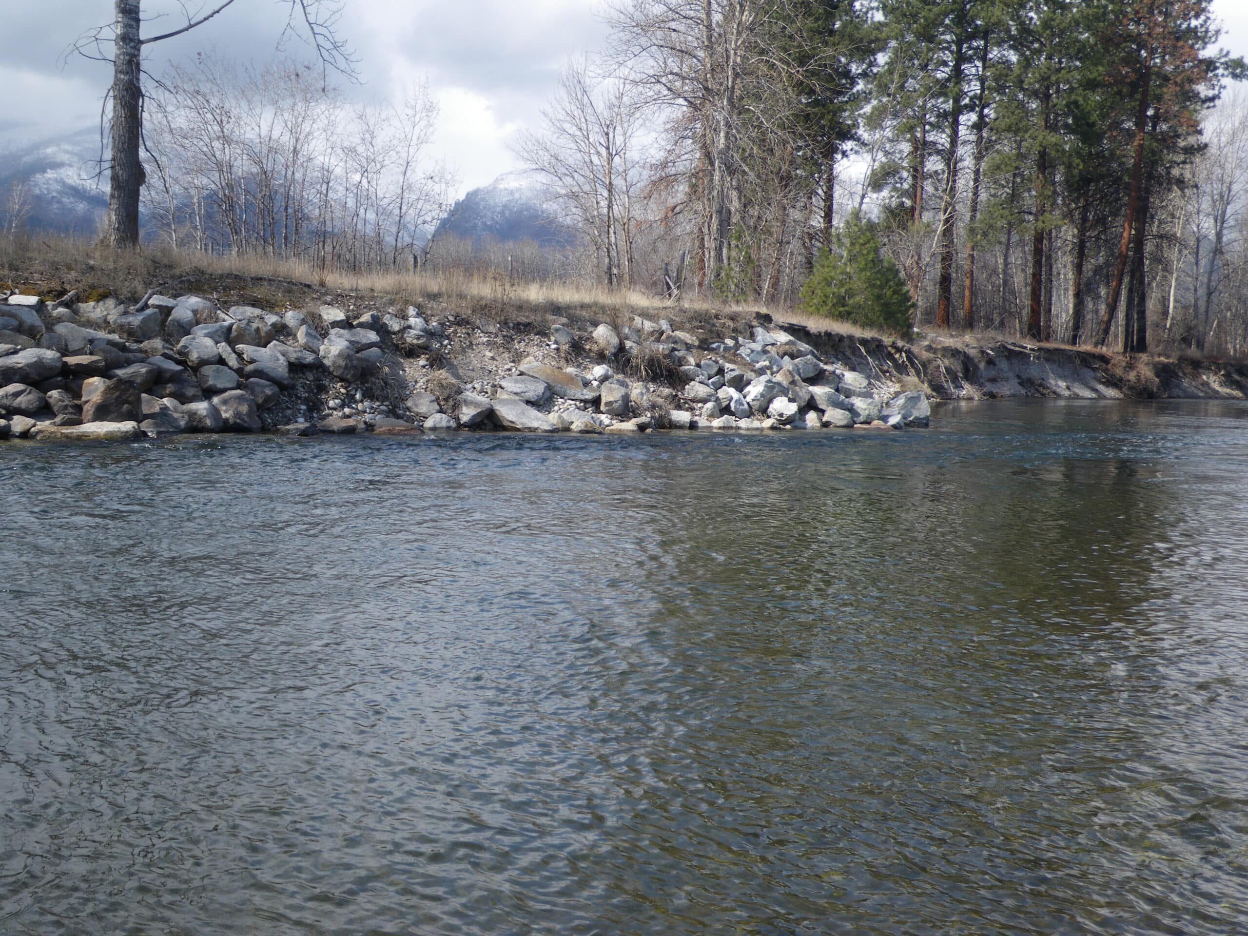
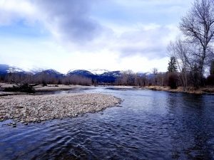
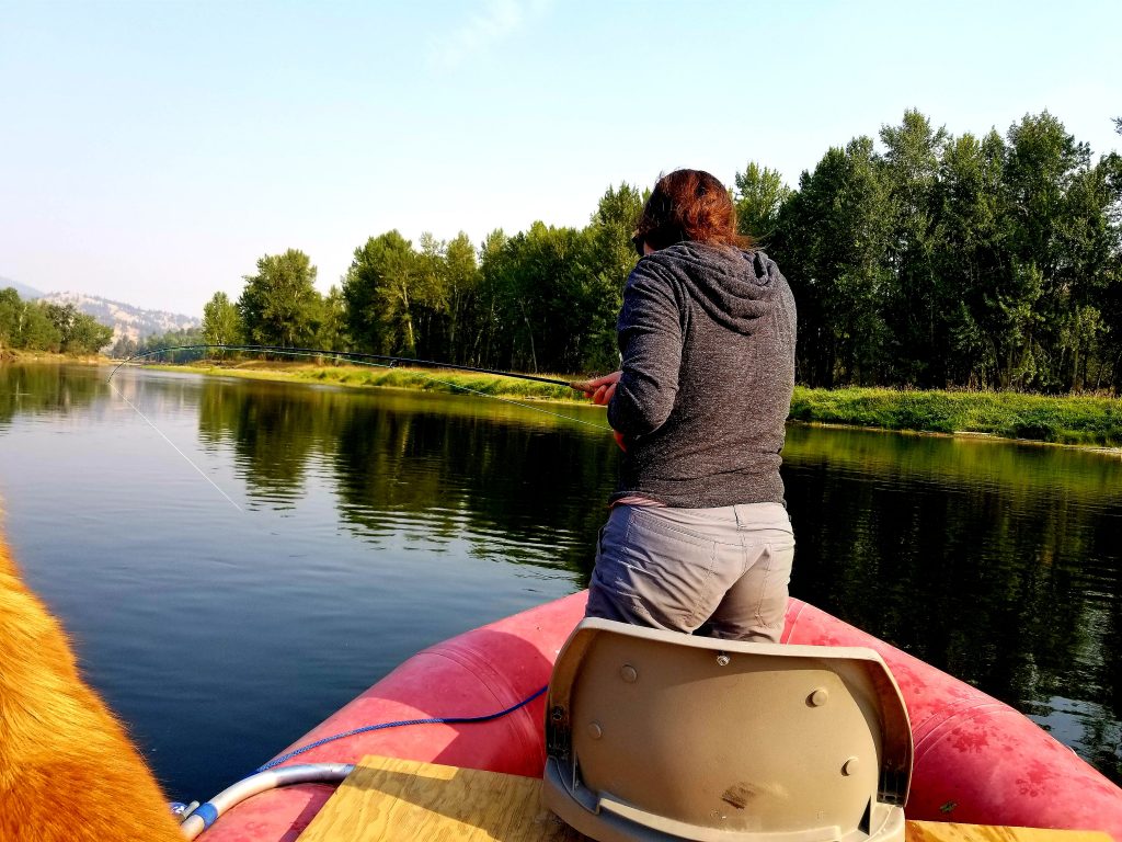
The Bitterroot River Montana flows through a beautiful, low gradient valley. Although the river is not a big whitewater destination, it remains as one of the most dangerous in the state. Shifting channels, diversion dams and log jams make it a place for caution.
Bitterroot River Flows And Weather

Rapids and Float Notes
 Outside of running diversion dams, there aren’t major rapids on the Bitterroot river. It’s a technical river with new log jams and obstacles forming after each runoff.
Checking with the fly shops is always a good idea before floating. The river channel can completely shift after a big runoff so really pay attention in that first month after the flows stabilize.
Bitterroot River Boat Ramps
Hannon Memorial – Easy developed ramp just south of Darby. Signed on the highway.
Darby Bridge – Nice developed ramp 4 miles downriver from Hannon. Easy town access.
Wally Crawford – 7 miles downriver from the Darby bridge. Takeout is obvious upstream from the bridge but the water is fairly fast. Be ready to jump out and walk the boat into the loading area.
Angler’s Roost – Around 9 miles downriver from Wally Crawford. There is a fly shop and RV park called Angler’s Roost that has a launch behind the shop. Check in the shop and register to use the takeout. Buy a cold drink and a few flies as well. They are great folks. The float from Wally has a significant diversion dam that requires a short portage.
Silver Bridge – Technically you could use the Main Street Bridge in Hamilton in a light boat like a canoe or kayak. The Silver Bridge is the highway one you cross just north of town. The takeout is a gravel bar with a slide. Not terrible if you have a winch or an extra hand.
Blodgett Park – Check with the local shops first. It’s the channel on river left and is sometimes blocked. May not be a viable option.
Woodside – Take the right channel and it’s an easy 3-4 mile float to the Woodside ramp. Or head down to Tucker for a longer day.
Tucker West – 6 miles down from Woodside is the Tucker Ramp. Stay in the west channel (river left) and it’s general a pretty clear float with good fishing.
Bell Crossing – A large gravel bar put-in/take-out about 5 miles from Tucker.
Stevensville – 7 miles down from Bell Crossing, immediately downriver from the Stevensville Bridge on river right. Another big gravel bar.
Florence – Over 10 miles from Stevensville on river left, just before the Florence east side highway bridge.
Lolo – More for pontoons, kayaks and canoes. Located at the sewage treatment plant. You could haul a raft down the short trail with a few people.
Miller Creek – Actually is located upriver from Lolo but on the opposite bank. It’s a good access but a long shuttle as you have to drive up Miller Creek road and through a long neighborhood to get there.
Fort Missoula – A back channel takeout that you want to scout first to make sure you don’t miss it. River is broad and slower.
Kona Bridge (Clark Fork) – It’s a long day from Lolo or Miller Creek to the Kona Bridge. You could drag up the Kelly Island Channel as a shorter alternative but it’s a pain.
Bitterroot River Shuttle Services
Marty’s Shuttle – Mainly running the upper river around Darby. 406-274-6331
Angler’s Roost – They only run to and from their location. If you use their access, use their shuttle. 406-363-1268
Pat Ellis – Great service. 406-370-2949
Four Rivers – They pretty much do it all around Missoula. 406-370-5845
River Specific Fishing Regulations
Exceptions to Standard Regulations: Bitterroot River
Bitterroot River from confluence of the East and West Forks to the mouth, West Fork Bitterroot River downstream from Painted Rocks Dam, and East Fork Bitterroot River downstream from Star Falls
- Catch-and-release for cutthroat trout.
- Extended season for northern pike and whitefish and catch-and-release for trout open December 1 to third Saturday in May with aquatic insects, maggots, and/or artificial lures only.
West Fork Bitterroot River downstream from Painted Rocks Dam
- Catch-and-release for cutthroat trout and rainbow trout.
- Brown trout: 3 daily and in possession.
East Fork Bitterroot River downstream from Star Falls
- Catch-and-release for cutthroat trout and rainbow trout
- Brown trout: 3 daily limit and in possession
Bitterroot River from confluence of East and West Forks to the north boundary of the Woodside Bridge FAS
- Catch-and-release for cutthroat trout
- Combined trout: 3 rainbow or brown trout daily and in possession, only 1 over 14 inches.
North boundary of Woodside Bridge FAS to Florence Bridge
- Catch-and-release for all trout
- Artificial lures only
Florence Bridge to mouth of Bitterroot River
- Catch-and-release for cutthroat trout
- Combined trout: 3 rainbow or brown trout daily and in possession, only 1 over 14 inches.
West Fork Bitterroot River
- Extended season for northern pike and whitefish and catch-and-release for trout open December 1 to third Saturday in May with aquatic insects, maggots, and/or artificial lures only.
- Catch-and-release for cutthroat trout and rainbow trout.
- Brown trout: 3 daily and in possession.
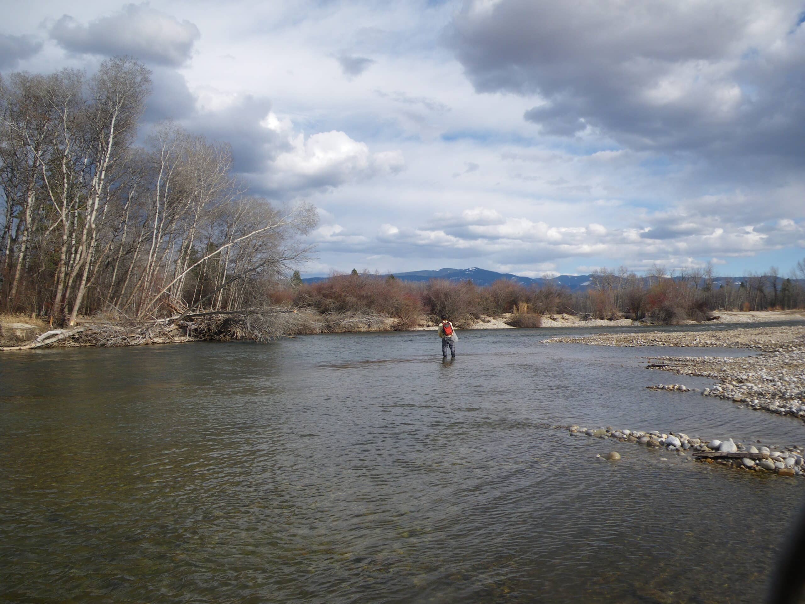
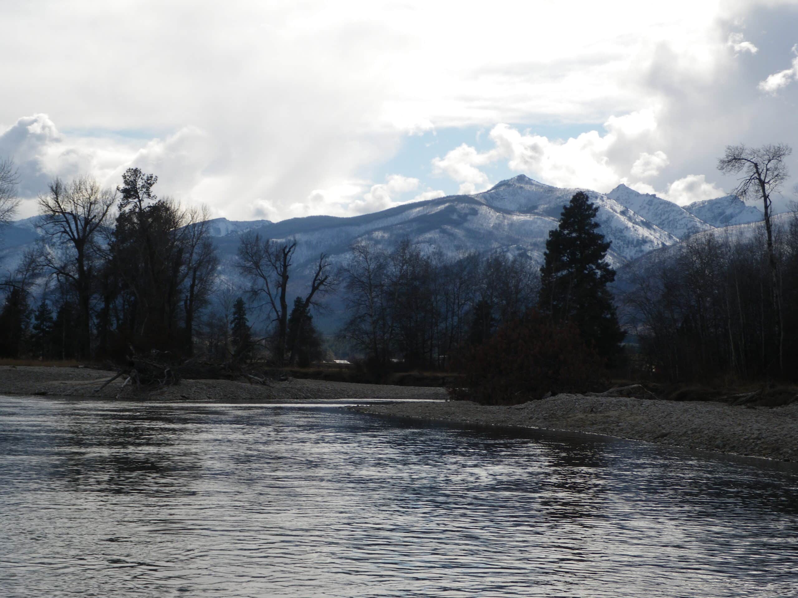
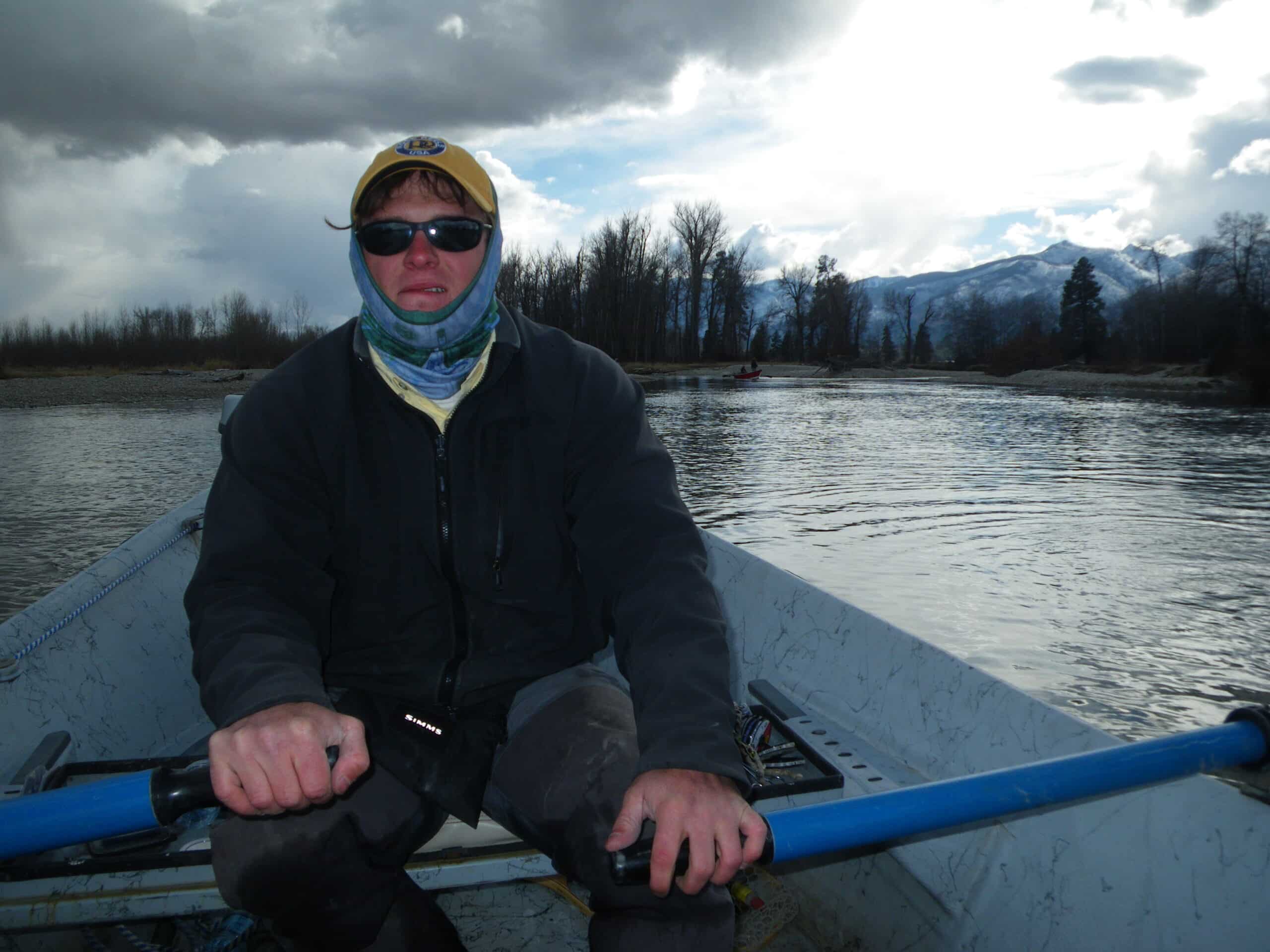
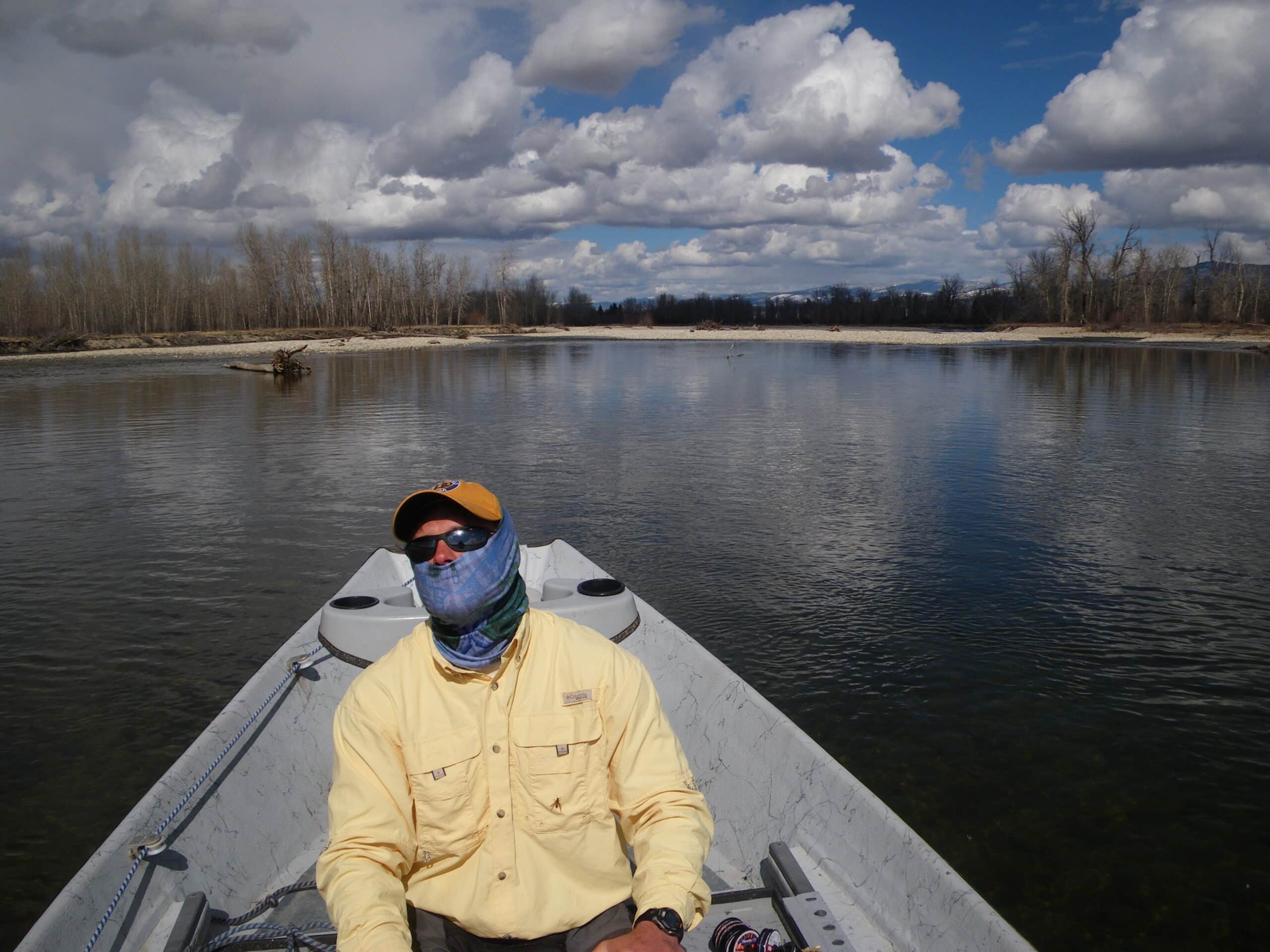
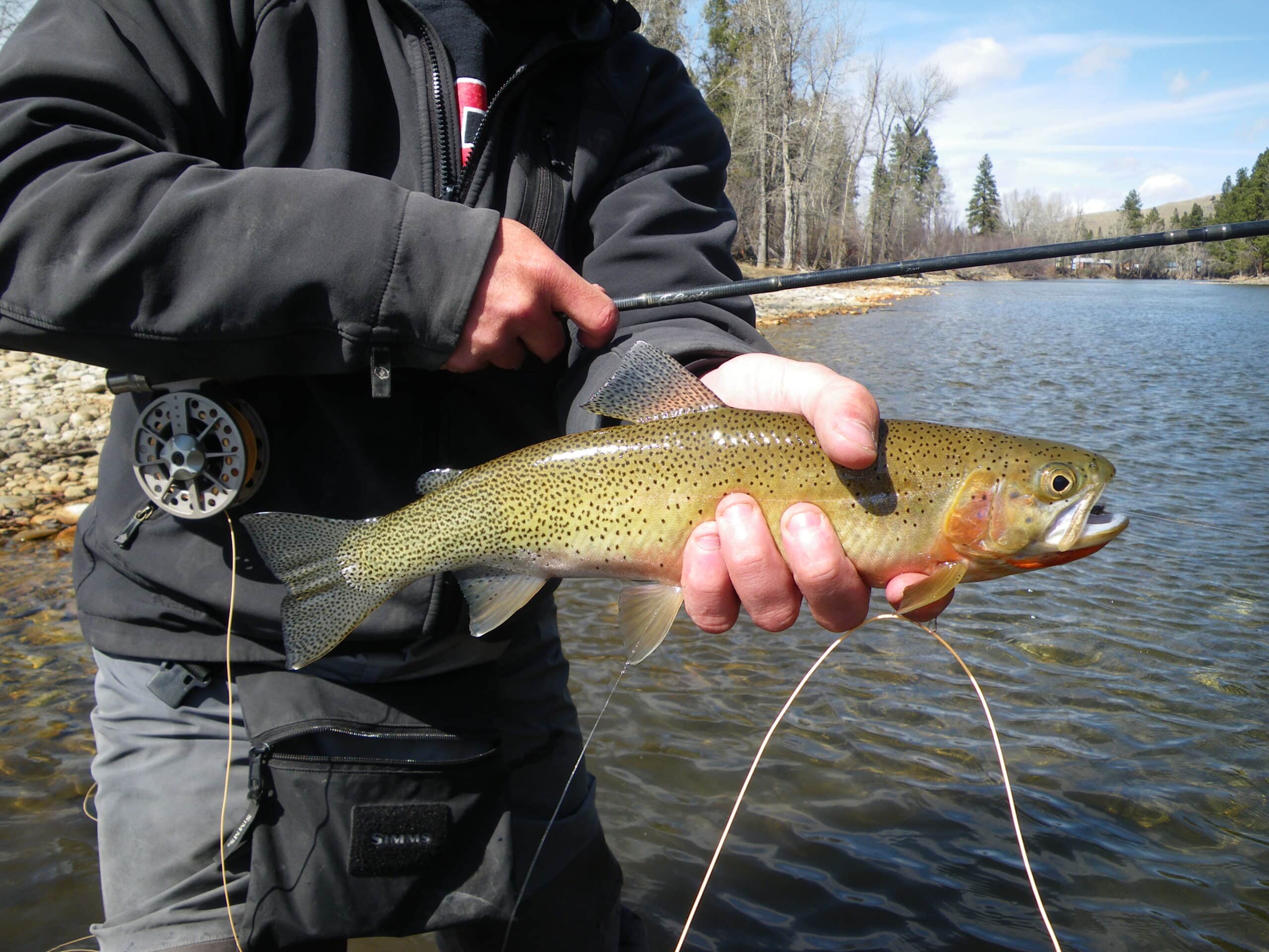
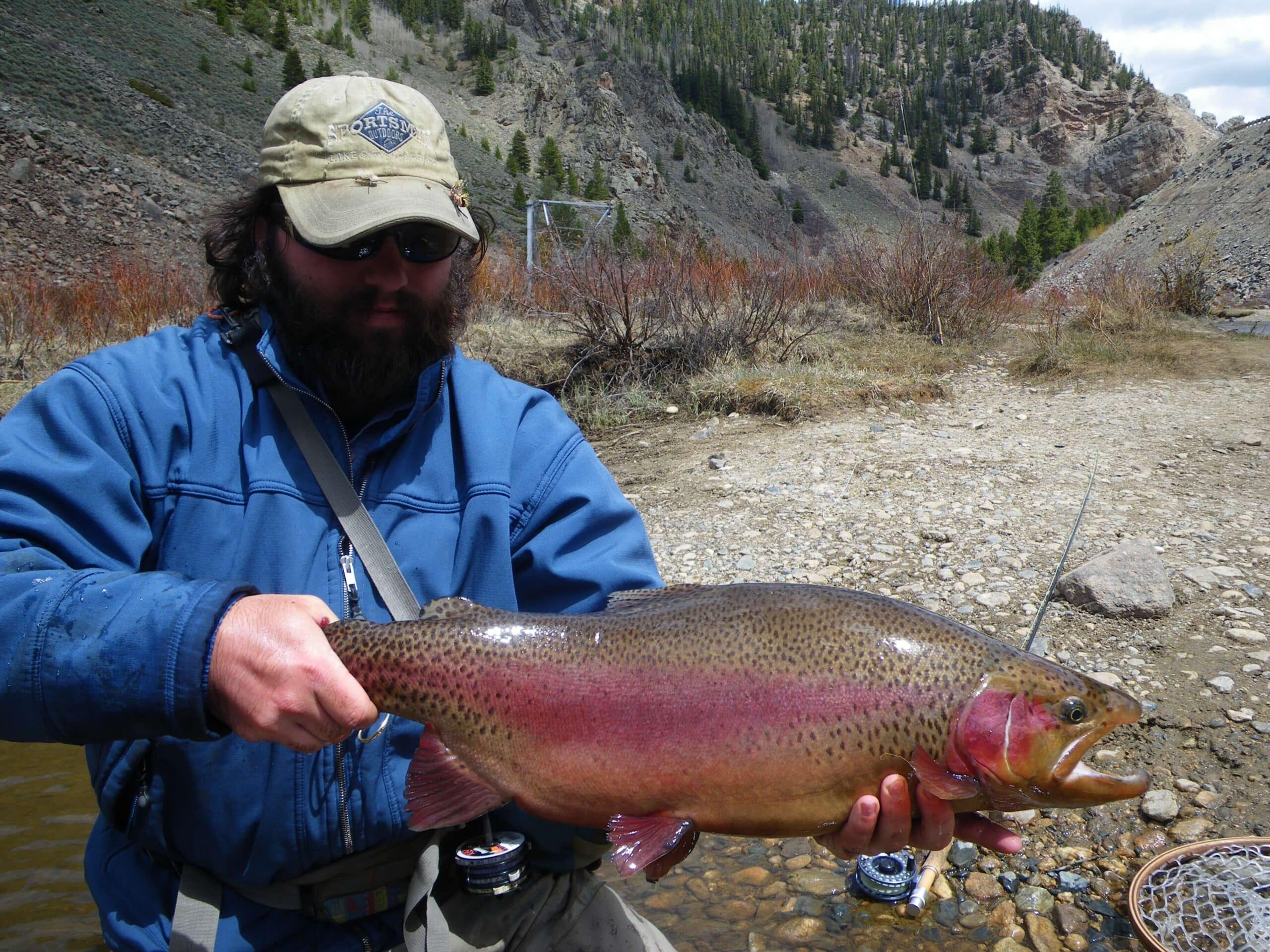
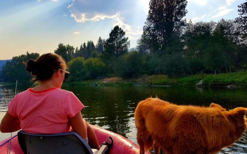
Bitterroot River Montana Photos