Antietam Creek Maryland – More than 40 miles with plenty of class I-II paddling water. The creek feeds the Potomac river and runs through numerous historic sites and a civil war battlefield. It has some winding sections, rubble from old dams and wonderful scenery. It’s ideal for paddling a canoe or running a kayak.
Antietam Creek Flows And Weather

Rapids and Float Notes
Oak Ridge Dr. to Devils Backbone Park is the upper river and it runs through the Civil War site. Make sure you takeout above the dam at the park. It’s just under 10 miles long.
Highway 68 to 34 is a windy stretch but doesn’t have any major rapids. The spring influence keeps steady flows throughout the season and the scenery is great. If you can handle tight turns and minor obstacles, it’s no problem.
Highway 34 to the Potomac River Confluence – Although it’s only class I-II, there are obstacles here, including potentially dangerous strainers. Keep and eye out for danger and be ready to portage if necessary.
Antietam Creek Shuttle Services
Antietam Creek Canoe – rentals and shuttles, 240-447-0444
River and Trail Outfitters – 301-834-9950
Outdoor Excursions – 1-800-77-kayak
Fishing Info
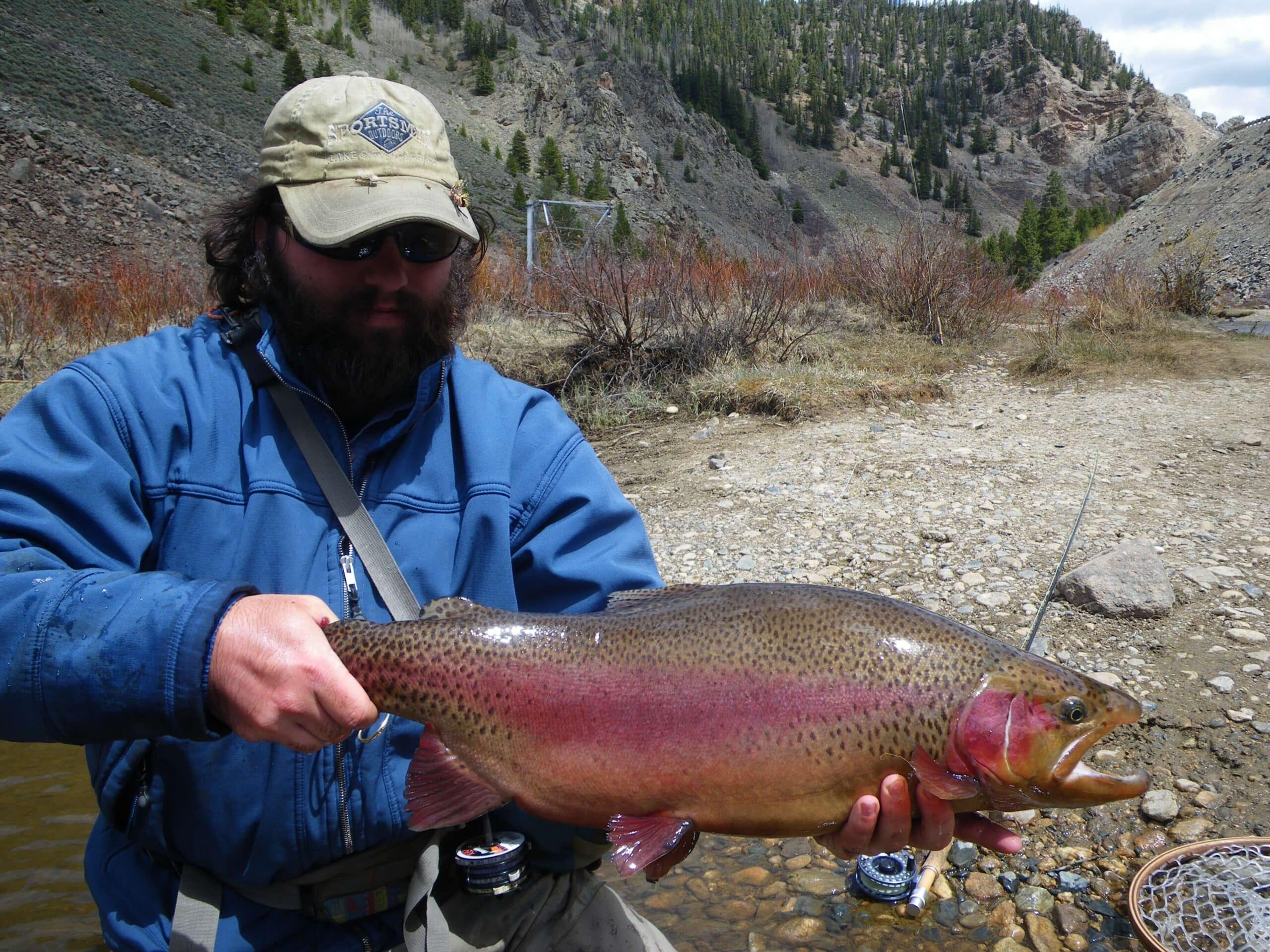
Heavily stocked with trout that will take well presented flies or lures. Fishing Antietam Creek is pretty easy because access is good and the river is full of fish. The cold spring water also keeps nice flows and water temperatures for the fish.