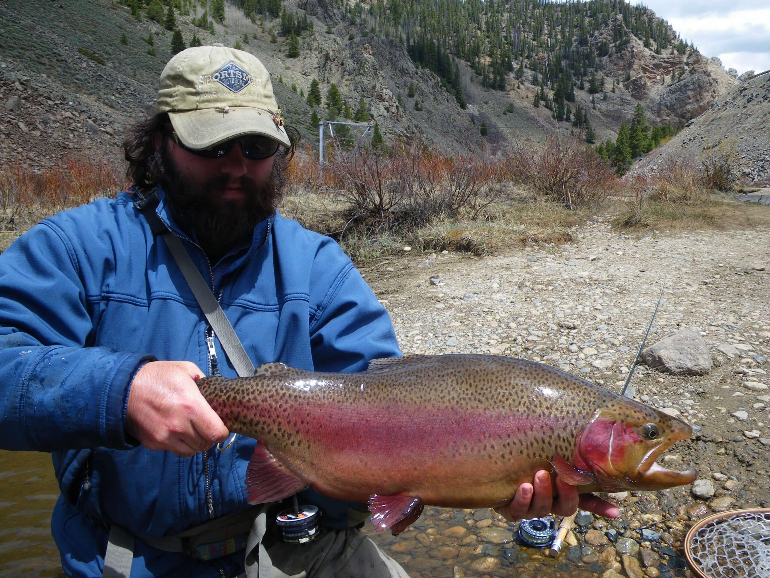
Gallatin River Montana – The river has an incredible dynamic. It starts as a small stream around the Yellowstone National Park border and quickly gains volume as it passes Big Sky and enters the Gallatin Canyon. The canyon is a fast stretch with whitewater opportunities in high flows and great fishing throughout the spring, summer and fall.
Access is excellent until it gets closer to Gateway and private lands begin dominating the landscape. Even in this lower river area, you can utilize public access while remaining below the high water mark.
Flows And Weather

Rapids and Float Notes
Class – II-IV
High – 1000cfs
Low – 100cfs
Gallatin River Montana Boat Launches and Access
Red Cliff – Wade Access on the upper river. Close to Yellowstone National Park. Has camping.
Porcupine Creek – Another high wade access at a bridge crossing. No camping.
Shady Rest – Just below the west fork and the town of Big Sky. Volume bumps slightly.
Deer Creek – Just up from Portal Creek. In the canyon zone now
Durham Meadow Bridge – Bridge crossing with a pullout.
Moose Creek Flat – Campground with river access.
Greek Creek – Just above Cascade creek. Has a campground. Hilarity hole and house rock rapids are below here. Good whitewater from here down to Squaw Creek. Class III-IV moving downriver from here..
Cascade Creek Bridge – Obvious bridge right at cascade creek. Directly above House rock rapid. The first mile below here is the Mad Mile with pretty much non-stop whitewater for a solid mile run.
Squaw Creek Bridge – End point for the most intense stretch of whitewater on the river.
Kirk Wildlife Refuge – Right above a diversion dam. Lower end of the canyon and starting to broaden.
Canyon Mouth – Moving closer to the 4 Corners junction here.
Axtell Bridge – Good wade access around 4 corners.
Shed’s Bridge – Another wade access around 4 corners.
Cameron Bridge – You are pretty close to Bozeman and Belgrade at this point.
Erwin Bridge – Close to Belgrade in the lower river zone.
Central Park – In Belgrade on the lower gradient.
Four Corners – Downstream of Belgrade
Gallatin Forks – Where the East Fork of the Gallatin meets the Main Stem.
Logan Bridge – Very lower river zone.
Missouri River Headwaters – The Jefferson, Madison and Gallatin all come together here to form the Missouri River. It’s a really cool zone. Warmer water and not as trout rich as the water upriver but still a really cool historical site and good place for canoe trips.
Shuttle Services
Bob’s Shuttle – 406-595-0587
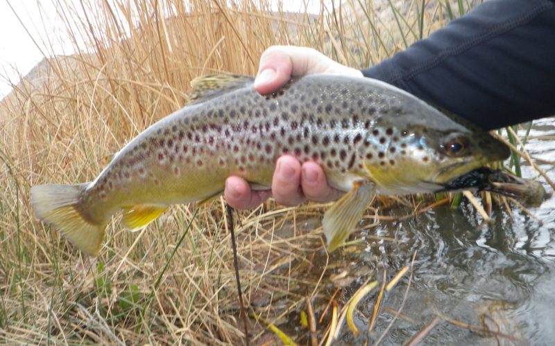
River Specific Fishing Regulations
Exceptions to Standard Regulations: Gallatin River
Entire River
- Open entire year.
- Northern Pike: no limit.
Yellowstone National Park to East Gallatin River
- Closed to fishing from boats/vessels.