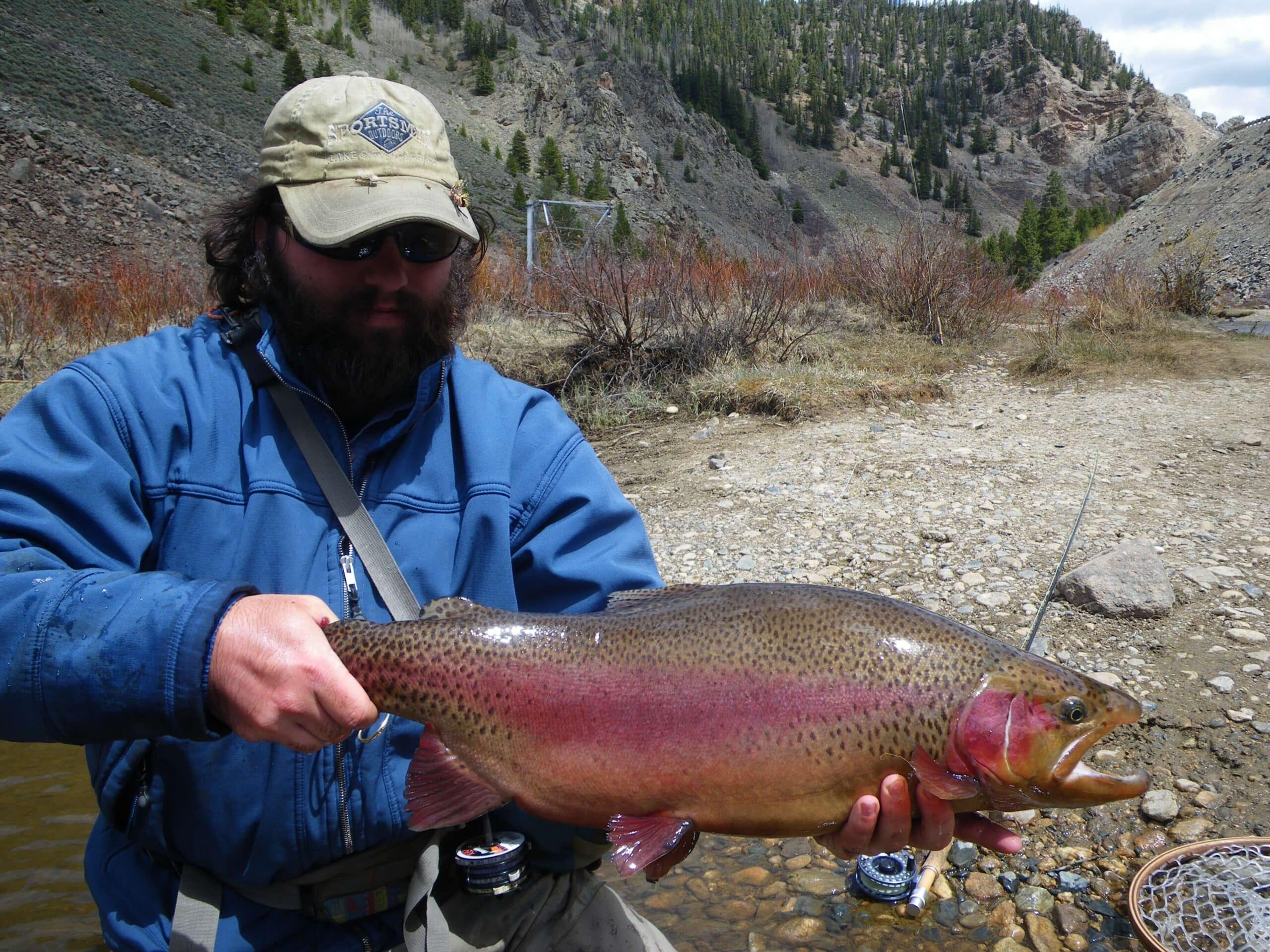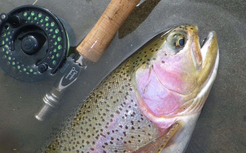
Jefferson River Montana – The Beaverhead and Big Hole Rivers come together at Twin Bridges to form the river. It runs on a low gradient for 80 miles until it meets the Gallatin and Madison to form the Missouri River. The river is a quality trout fishery in the upper reaches and has great access for floaters and anglers.
Highway 2 between Three Forks and Cardwell follows the river and you can access just about anywhere. This makes it very convenient for boaters.
Flows And Weather
Jefferson River near Twin Bridges MT
- Temperature: 56.12 ° F
- Streamflow: 1600 ft³/s
- Gage height: 4.22 ft

Jefferson River near Three Forks MT
- Temperature: 56.12 ° F
- Streamflow: 1710 ft³/s
- Gage height: 3.88 ft
Rapids and Float Notes
The Jefferson has great volume and is a great river for beginner and intermediate rowers. There are no major rapids and few obstacles. Low water, log jams in narrow channels and diversion dams are the only potential issues for floaters here. Really beware of diversion dams on the river.
Jefferson River Montana Boat Ramps and Access
Jesen Park – Right in Twin Bridges, this is actually on the Beaverhead River for a short distance. From here down to Silver Star and Cardwell areas are the most popular for trout fishing. The water warms the farther down you go and trout populations give way to carp.
Hell’s Canyon – 14 miles downriver. Running from Jesen to Hell’s is a good option.
Silver Star – Another 3 miles to here.
Parson’s Bridge – 10 mile float from Silver Star.
Parrot Castle – 7 miles down
Kountz Bridge – Another 7 miles
Mayflower Bridge – 6 miles from bridge to bridge. The bridges make the takeouts obvious.
Cardwell Bridge – 4 miles from Mayflower if you want a short half-day float.
Limespur – 9 miles down, getting into some slow, warmer water.
Sappington Bridge – 6 miles
Williams Bridge – 8 miles
Drouillard – 7 miles
Missouri River Headwaters – 9 miles down starts the Missouri River at the Headwaters state park.
Shuttle Services
Bob’s Shuttle Service – 406-595-0587
Frontier Anglers – 406-683-5276
River Specific Fishing Regulations
Exceptions to Standard Regulations: Jefferson River
Entire River
- Open entire year.
- Northern Pike: no limit.
Confluence of Beaverhead and Big Hole rivers to Williams Bridge FAS
- Catch-and-release for rainbow trout.
- Combined Trout: 3 brown trout daily and in possession, only 1 over 18 inches.
Williams Bridge FAS to confluence with Missouri River
- Catch-and-release for rainbow trout.
- Combined trout: 5 brown trout daily and in possession, only 1 over 18 inches.
Seasonal spawning closure at tributary mouths: Hells Canyon Creek and Willow Springs Creek.
- Closed to fishing 100 yards upstream and downstream from the creek mouths from April 1 through April 30 and from October 15 through November 30.