Missouri River Montana – She’s no secret, especially the tailwater that comes pouring out of the dam at Holter Lake. The river begins in Three Forks where the Gallatin, Jefferson and Madison meet. It runs an incredible course with a combination of cold and warmwater fisheries and opportunities to float and paddle the same historic waters that Lewis and Clark ran.
Flows And Weather
Missouri River bl Hauser Dam near Helena MT
- Temperature: 54.68 ° F
- Streamflow: 3650 ft³/s
- Gage height: 3.54 ft

Missouri River bl Holter Dam nr Wolf Cr MT
- Temperature: 43.52 ° F
- Streamflow: 3640 ft³/s
- Gage height: 2.46 ft
Rapids and Float Notes
The majority of this river is broad and slow, built for low key boating and ideal for canoes and paddling. The wild and scenic section runs 150 miles down from Fort Benton and makes for a great canoe trip. The river has numerous dams along with some large reservoirs like the massive Fort Peck.
Headwaters – There is a state park right where the river begins.
Fairweather – 11 miles down there is a campground
Toston Dam – Another 11 miles to the dam campground.
Toston FAS – Fishing access site at the dam
Deepdale – Campground just up from Townsend
Indian Road – Campground just below Townsend. Cottonwood campground is also right in this area.
Holter Dam – Where the famous trout tailwater fishery begins. Boat ramp and camping available right below the dam.
Wolf Creek Bridge – It’s a short 3 mile run from the dam but you could easily spend all day picking this stretch apart.
Craig – 5 miles down on river left, immediately upstream from the bridge. Easy takeout to spot and very popular. Also has camping available and foot access to the town of Craig.
Stickney Creek – 3 miles down
Spite Hill – 1 mile
Dearborn – 2 miles
Mid-Canon – 2 miles
Mountain Palace – 5 miles
Hardy Bridge – 2 miles
Prewett Creek – 1 mile. Good flat launch site.
Pelican Point – 4 miles. Another easy put-in and takeout.
Cascade – 8 miles. This is usually the end of the line for trout fishing. It’s a long ways between takeouts below here and the populations start to peter out.
Dunes – 4 miles
Ulm – 23 miles
____
Morony Dam
Carter Ferry – Really cool area where a ferry system is used to cross the river and deliver supplies.
Fort Benton
Loma Bridge
Coal Banks Landing
Judith Landing
McClelland Ferry
Power Plant Ferry Road
James Kipp Recreation Area
Slippery Ann
Rock Creek
Turkey Joe
Fort Peck Dredge Cuts
School Trust FAS
Lewis and Clark FAS
Bridge
Brockton
Culbertson Bridge
Snowden Bridge
Highway 58 bridge
Shuttle Services
Trout Shop – Based in Craig. 406-235-4474
Crosscurrents – Also operating on the Craig tailwater. 406-235-3433
Headhunters – Craig area. 406-235-3447
Bob’s Shuttle Service – Operating on the very upper river system near the headwaters state park. 406-595-0587
Adventure Bound Canoe and Shuttle – Fort Benton Area. 406-622-5077
River Specific Fishing Regulations
Exceptions to Standard Regulations: Missouri River
Entire River
- Open entire year.
- Snagging: it is illegal to snag for fish other than paddlefish on the Missouri River downstream from Fort Benton; any fish other than paddlefish must be immediately released alive.
Confluence of Madison and Jefferson Rivers to Toston Dam
- Northern Pike: No limit.
Toston Dam to Canyon Ferry Reservoir
- Localized spawning areas closed as posted from March 1 through June 15.
- Catch-and-release for brown trout, except anglers 14 years of age and younger may take 1 brown trout daily and in possession, any size.
- Northern Pike: no limit.
- Walleye: 10 daily no more than 4 over 16 inches, and only 1 over 28 inches. Possession limit is twice the daily limit.
Canyon Ferry Reservoir
- Catch-and-release for brown trout, except anglers 14 years of age and younger may take 1 brown trout daily and in possession, any size.
- Northern Pike: no limit.
- Walleye: 12 daily, only 1 over 25 inches. Possession limit is twice the daily limit.
- Yellow Perch: 10 daily and in possession.
Canyon Ferry Dam to Hauser Dam
(includes Hauser Reservoir, Lake Helena, and Canyon Ferry Tailwaters)
- Catch-and-release for brown trout, except anglers 14 years of age and younger may take 1 brown trout daily and in possession, any size.
- Combined Trout and Salmon: 5 trout and salmon daily and in combination and 10 trout and salmon in possession in any combination.
- Northern Pike: no limit.
- Walleye: 20 daily, only 1 over 25 inches. Possession limit is twice the daily limit.
- Yellow Perch: 10 daily and in possession, except from April 1 through June 30, only 1 fish daily and in possession, 14 inch minimum.
Hauser Dam to Holter Reservoir
(Hauser Dam downstream to American Bar Gulch approx 4.6 miles)
- Combined Trout: Standard river/stream limits apply, except catch-and-release for brown trout.
- Northern Pike: no limit.
- Walleye: 10 daily, only 1 over 25 inches. Possession limit is twice the daily limit.
Holter Reservoir
- Catch-and-release for brown trout, except anglers 14 years of age and younger may take 1 brown trout daily and in possession, any size.
- Combined Trout and Salmon: 5 trout and salmon daily and in combination and 10 trout and salmon in possession in any combination.
- Northern Pike: no limit.
- Walleye: 10 daily, only 1 over 25 inches. Possession limit is twice the daily limit.
- Yellow Perch: 25 daily and no possession limit.
Holter Dam to Cascade Bridge
- Combined Trout: 3 daily and in possession, only 1 over 18 inches, and only 1 may be a brown trout.
- Walleye: no limit.
Cascade Bridge to Black Eagle Dam
- Walleye: 20 daily and 40 in possession
Morony Dam to Fort Benton
- Sauger/Walleye: 5 daily, only 1 may be a sauger. Possession limit is 10, only 2 may be a sauger.
Upstream from Fort Peck Dam to Fort Benton
- Paddlefish snagging: open for harvesting paddlefish from May 1 to June 15 from 6AM to 9PM, MST, daily unless closed earlier by FWP.
- Catch-and-release snagging for paddlefish is open from May 1 to June 15 from 6AM to 9PM, MST, daily.
- Sauger/Walleye: 5 daily, only 1 may be a sauger. Possession limit is 10, only 2 may be sauger.
Downstream from Fort Peck Dam
- Paddlefish snagging: open Tuesdays, Wednesdays, Fridays, and Saturdays May 15 through June 30 from 6AM to 9PM, MST, unless closed to harvest earlier by FWP. Paddlefish snagging is closed on Sundays, Mondays, & Thursdays.
- Catch-and-release snagging for paddlefish is not permitted.
Fort Peck Dam to the mouth of the Milk River
- Combined Trout: 2 rainbow trout daily and in possession.
Downstream from Fort Peck Dam near Duck Island as posted
- Closed from March 1 through July 31 to fishing and wading as posted.
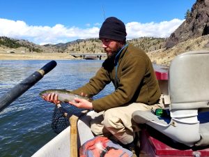
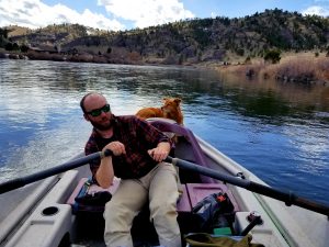
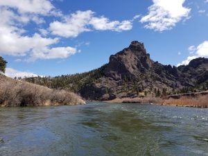
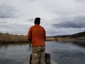
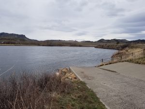
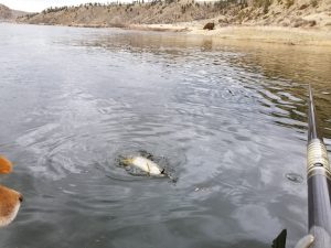
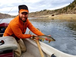
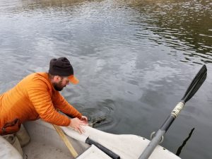
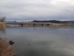
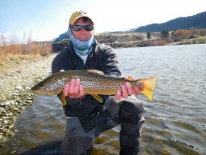
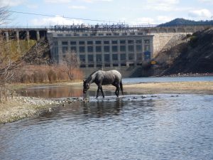
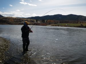
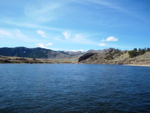
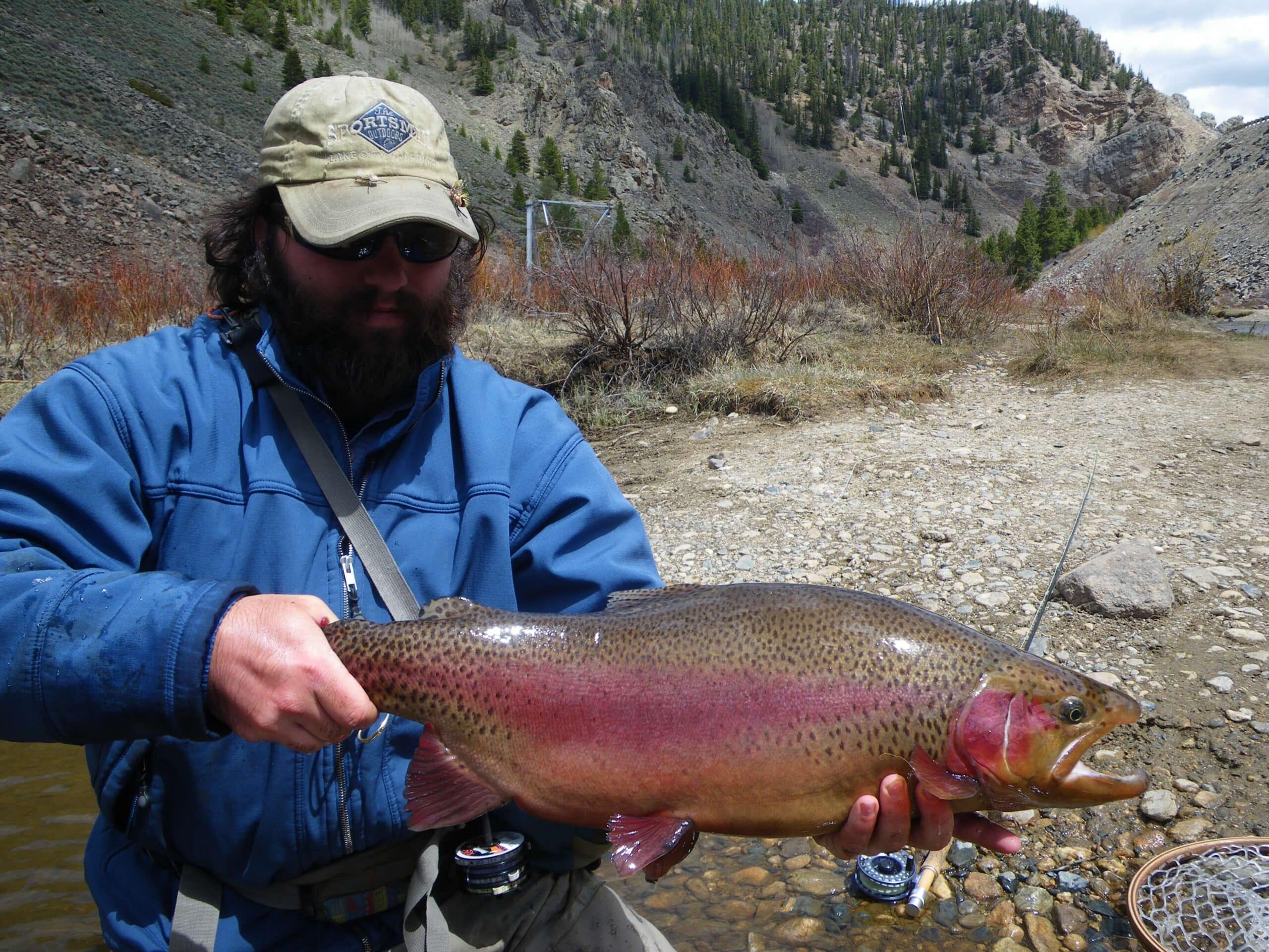
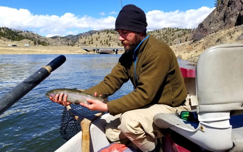
River Photos